Land id Launches CarPlay Feature Bringing Property Boundaries to Dashboards
Industry Pulse News Desk · 2026-09-06
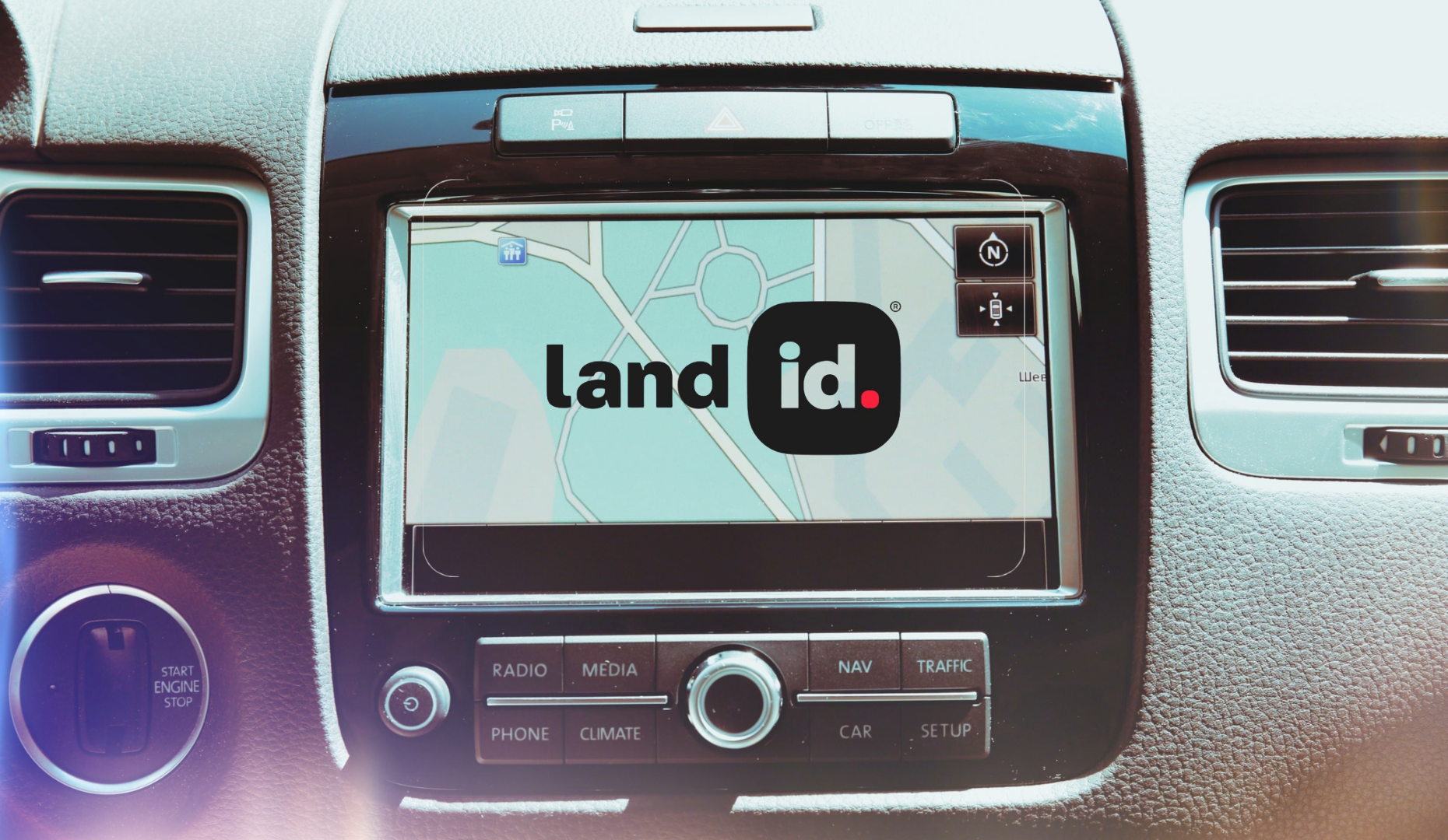
Land id has introduced an Apple CarPlay application that brings parcel boundaries, owner records, and property waypoints directly to real estate agents' vehicle dashboards.
Land id announced the launch of an Apple CarPlay integration on Tuesday, allowing real estate professionals to view spatial property data directly on their vehicle display screens. The update integrates specialized land mapping tools, property boundaries, and parcel information into the native automotive interface.
Through the new CarPlay application, drivers can access location-based land data in real time. The platform displays property lines, owner records, and saved waypoints as the vehicle moves, eliminating the need for real estate agents to reference handheld mobile devices while navigating between property showings.
The system automatically synchronizes with a user's existing Land id profile, transferring pre-selected property markers and custom maps directly to the dashboard screen. Agents evaluating rural acreage, agricultural plots, or suburban developments can view precise spatial boundaries alongside standard turn-by-turn driving directions.
By bringing property intelligence to the in-vehicle screen, the technology aims to support mobile workflows for land brokers, commercial agents, and residential realtors. The platform allows users to inspect neighboring parcels, assess topographic markers, and confirm lot dimensions while traveling through target markets.
The Apple CarPlay integration is available immediately for Land id subscribers operating compatible iOS devices and supported vehicle infotainment systems. Additional software updates are scheduled to further expand automated mapping functions for field agents later this year.