FEMA Flood Map Updates to Drive Up Homeowner Insurance Costs
Industry Pulse News Desk · 2026-09-23
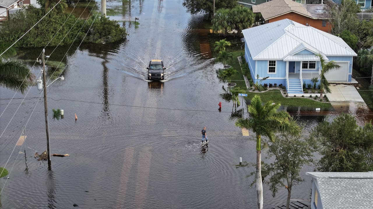
Federal updates to flood maps across several U.S. regions are forcing thousands of property owners into higher-risk zones with mandatory coverage requirements.
Federal emergency management authorities have updated flood risk maps across several regions in the United States, placing thousands of residential properties into newly designated high-risk flood zones. The revisions require affected homeowners with federally backed mortgages to purchase specialized flood insurance, significantly increasing their annual housing expenses.
The updated flood insurance rate maps reflect recent topographical surveys, hydrological data, and changing precipitation patterns. Properties previously classified in low- or moderate-risk areas are now recognized as susceptible to major inundation events, triggering immediate regulatory changes for local property owners.
Homeowners newly incorporated into Special Flood Hazard Areas face insurance premiums that can add thousands of dollars to their yearly carrying costs. Mortgages insured or guaranteed by federal agencies mandate this coverage, leaving impacted borrowers with limited options to bypass the additional payments.
Local municipalities rely on these revised maps to enforce land-use regulations and building codes aimed at mitigating storm damage. While public officials emphasize that the updates accurately portray environmental hazards, community leaders warn that rising insurance costs could diminish local property values and strain household budgets.
Property owners seeking relief can appeal the designations by providing elevation certificates or professional engineering surveys demonstrating their structures sit above base flood levels. However, the administrative process remains lengthy, requiring residents to pay elevated premiums while their disputes undergo federal review.