FEMA Flood Map Updates Force Higher Insurance Costs for Thousands of Homeowners
Industry Pulse News Desk · 2026-09-23
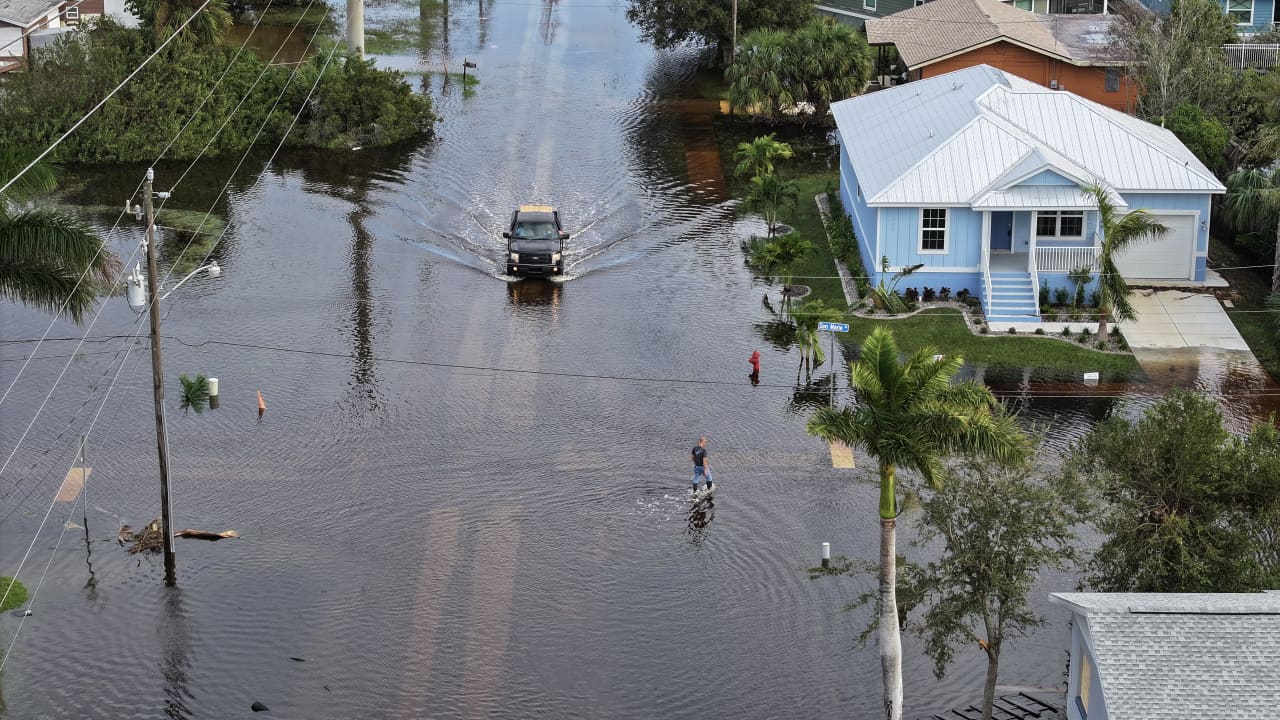
Recent revisions to federal flood maps have reclassified thousands of residential properties, triggering mandatory insurance requirements and higher monthly housing costs.
Thousands of homeowners across the United States face increased annual housing expenses following extensive updates to federal flood risk maps. The revisions, finalized by emergency management officials this summer, have reclassified numerous residential neighborhoods into high-risk flood zones.
Under federal regulations, property owners with federally backed mortgages located in newly designated Special Flood Hazard Areas must maintain flood insurance coverage. The mandatory insurance requirement applies to new real estate transactions immediately and takes effect for existing homeowners upon policy renewal.
The added coverage can increase annual homeownership expenses by hundreds or even thousands of dollars, depending on a structure's elevation, proximity to water bodies, and local mitigation infrastructure. Premiums under the National Flood Insurance Program are calculated based on risk assessments specific to individual properties.
The updated mapping reflects modern topographical data, recent changes in local rainfall patterns, and improved hydrologic modeling. Federal officials periodically adjust these flood risk boundaries to guide local building codes, land-use planning, and disaster preparedness initiatives.
Property owners who believe their structures were incorrectly included in high-risk zones can submit elevation certificates and technical data to request an official map amendment. Local government officials are also pursuing community-level mitigation projects that could potentially lower risk ratings in affected districts.